

Ever Andrés Salazar
Environmental engineer and data analyst
I'm an Environmental Engineer with a passion for data science and cartography, heavily focused on geospatial analysis. I have specialized in various tools such as Python, SQL, and JavaScript for data analysis and map visualization, using platforms like Matplotlib, Dash Plotly, Qgis, and ArcGIS. In addition to my technical skills, I have been recognized with awards such as Academic Excellence and Meritorious Thesis by Universidad Distrital Francisco José de Caldas, where I earned a GPA of 4.0/5.0.
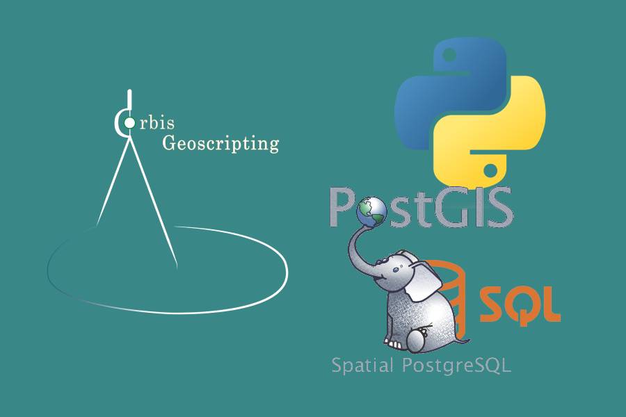
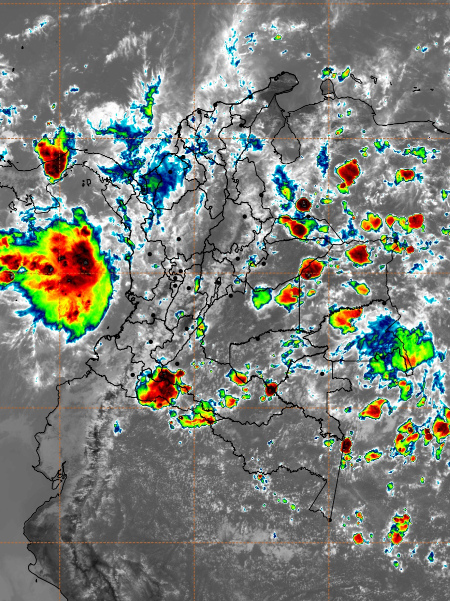
In my professional journey, I highlight my current role as a Data Analyst at IDEAM (Institute of Hidrology, Meteorology and Environmental Studies of Colombia), where I work on nationwide hydrometeorological prediction and alerts. Moreover, I was also the co-founder and former CEO of Orbis Geoscripting, an initiative that focused on teaching cartography-oriented programming languages. We trained over 150 students from various institutions across Colombia, offering courses ranging from Python and SQL to JavaScript related to cartographic processes.
Beyond my technical skills, I possess soft skills such as decision-making, active listening, and analytical problem-solving. I firmly believe in teamwork and the integration of multiple disciplines to achieve a more comprehensive and effective approach in any project.
When I am not immersed in maps and codes, my interests range from literature and the history of ancient Egypt to salsa and hip-hop music. I am also fascinated by fashion design and am an avid viewer of shows like Bojack Horseman. This diverse set of interests gives me a unique perspective that I incorporate into my professional and academic work.
Services
From extracting valuable insights through data analysis to customizing GIS solutions and teaching various programming languages, I offer a wide range of services tailored to meet your needs.
Data Analysis and Data Visualization
I transform raw data into valuable insights through comprehensive analysis and visualization. My services help you understand complex data sets and guide your decision-making.
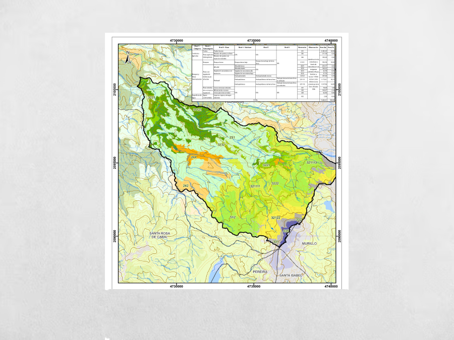
Cartography and GIS
From creating thematic maps to conducting advanced spatial analysis, I offer customized GIS solutions that enhance your understanding of spatial data and solve complex, location-oriented problems.
Programming Languages Teaching
Whether you're a complete beginner or looking to sharpen your skills, I offer courses in languages like Python, SQL, and Javascript to get you proficient in coding oriented to cartography.
Contact
andressalmercado@gmail.com
Copyright ©. All Rights Reserved. — Designed with love by Untree.co