Data Analysis and GIS teaching
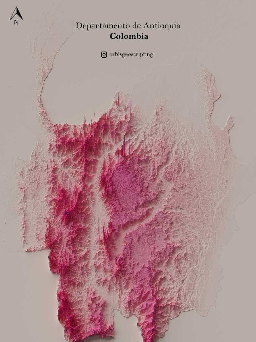
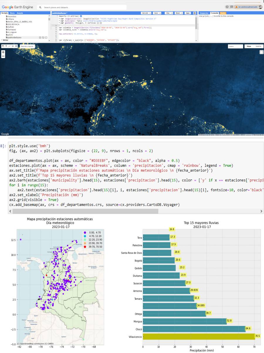
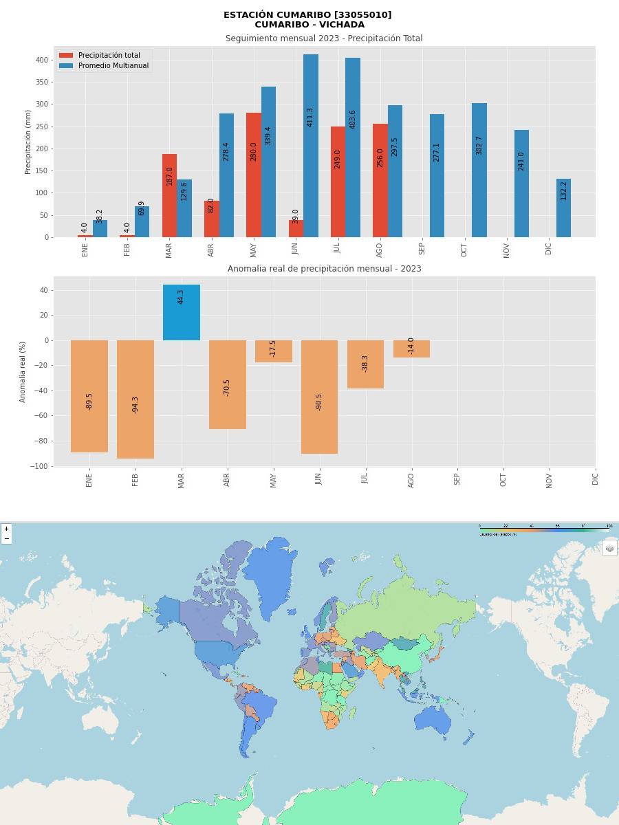
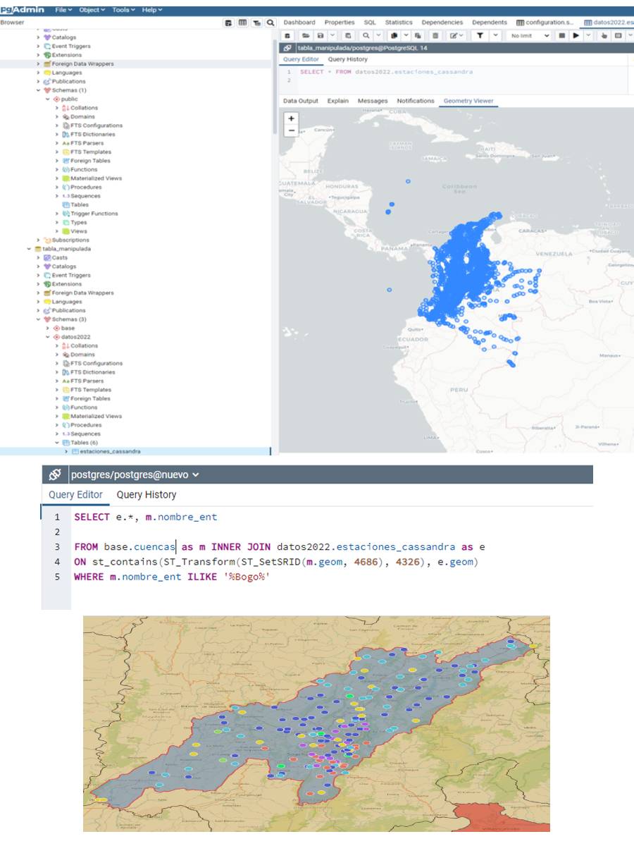
I'm the co-founder of Orbis Geoscripting, where we've spent the last three years teaching more than 150 students how to use programming in cartography. Many of our students work with natural parks in Colombia or deal with environmental licenses. Our courses cover a lot: from basic data crunching in Python using libraries like Pandas and Numpy, to more specialized topics like SQL's geographic extension, PostGIS, and leveraging JavaScript through Google Earth Engine.
What sets us apart is our wide-ranging curriculum. We not only teach Python basics but also how to use it with popular mapping software like ArcGIS. We get into specialized Python libraries for geographic info, including Geopandas, Fiona, and Leaflet. This way, our students are well-equipped to tackle different environmental and mapping challenges.